

Technology
Unlimited depth of detail – with KENEXOS® Tile Maps. With KENEXOS® Tile Maps technology, you can visualize even the largest maps and plans in razor-sharp detail – even on your mobile device.
Your functions
Display digital plans optimally – even on the move
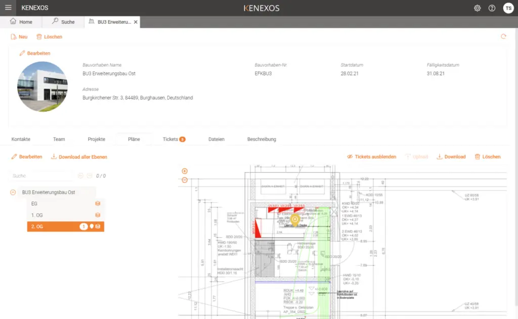
A tiled web map is a map or image that is displayed in a web browser by seamlessly stitching together dozens of individually requested image or vector data files. Tiled maps have several advantages. Each time the user pans, most tiles are still relevant and can continue to be displayed while new tiles are retrieved. This significantly improves the user experience compared to retrieving a single map image for the entire viewport.
It also allows individual tiles to be precalculated, a task that can be easily parallelized. And displaying rendered images provided by a web server is less computationally intensive than rendering images in the browser.
Test free of charge